
The Grand Theater | 405 S. Main Street, Rocky Ford, Colorado 81067
From June 30th to July 3rd 2021, I drove 550 miles through Colorado and photographed the movie theaters, train stations, grain silos, and downtowns of the many agricultural communities which dot the landscape of Eastern and Southern Colorado. I flew into Colorado Springs via Newark/Denver and picked up my rental car before starting the long drive down I-25 to US-50 towards Granada, CO. I didn’t have a specific agenda for this trip and I didn’t do very much planning for it either. I wanted to just enjoy my time off, driving down the open road and taking the time to shoot whatever caught my eye. Luckily the highways in Colorado are few and far between, so I decided on a rough route during my flight over from Newark: Start in Colorado Springs, then visit Rocky Ford, La Junta, Las Animas, Lamar, Granada, and Trinidad before making my way back up to the airport in Colorado Springs.
Holly, CO

My first day in Colorado was spent driving to Granada, home to the largest Japanese Internment Camp in operation during WWII. You can see the series I put together on that here. After leaving Granada and spending the night in Lamar, I backtracked to Holly, CO. Growing up on the East Coast and accustomed to winding roads, driving down US-50 was an experience. You really have to keep your focus on the road and your lane because it’s easy to let your mind wander to other places. As the front desk agent who checked me into my hotel in Lamar put it, “Doesn’t matter if you fall asleep at the wheel because Colorado is so flat that you’ll just keep on going for miles before you hit something!”
I didn’t realize just how flat Eastern Colorado could be until I noticed that I could see the horizon in every direction. That feeling of loneliness, driving down miles of dirt county roads, no signs of human beings in sight, is not something I’ll soon forget.
Like most agricultural towns I visited, the prominent landmark in Holly is a cluster of large silos near the railroad tracks. These silos allow farmers to store their crops and wait for better market conditions before selling. Nearby is the original Holly train station, which presently serves as the town hall and public library. There’s not much left downtown, but the Holly theater is a shining example of what a community can accomplish when it comes together. Like I saw in Rocky Ford, the local theater is owned by the township and is run by volunteers. Built in the early 1900s and renovated in the early 2000s, you can see current releases for $7 a ticket when the theater opens on the weekends.

Grain Elevator | Holly, CO 81047
Lamar, CO

Quality Dry Cleaners | 116 W Olive St, Lamar, CO 81052


The next stop down the road, and my temporary home for the night, was Lamar. Another primarily agricultural town, Lamar sits at the intersection of US-287 and US-50. One question that is always on my mind during these trips to remote towns is: “How do the residents earn a living?” I had a great conversation with the front desk agent about this very topic, and his response to my question about what people do for work was echoed by the other towns I visited: “Not much.” At one point both Amazon and Walmart wanted to build warehouses in Lamar because of its proximity to highways and rail, but there was a snag – the ranchers who owned the surrounding countryside wouldn’t sell the land needed to build. A coach building company, Neoplan USA, was an industrial fixture of Lamar for years until they closed up shop in 2005. Despite the jobs these warehouses would bring to the area, the ranchers wanted to keep Lamar and agricultural town. I can see the dilemma posed by inviting in companies like Walmart or Amazon to build in your backyard, and the fear of losing your town’s identity to change. And while Lamar’s downtown wasn’t in the worst shape of all the places I visited, I can’t imagine that the extra jobs the warehouse provided would’ve hurt the region.
There’s number of interesting things to see in Lamar, like the old petrified wood gas station off US-287 and the Lamar train station, which still sees a few Amtrak trains every week. The station is also home to the local visitor’s center, and has postcards for sale if you’re looking for that kind of thing.

“The Voice of the High Planes” KLMR Radio | 7350 US Highway 50, Lamar, Colorado 81052
Las Animas

Las Animas was a quick stop on my way back to La Junta, and my favorite feature here was the “Greetings from Historic Las Animas” mural painted downtown. There wasn’t much else to speak of – just an old Ford dealership and another common sight the towns I visited, an abandoned Masonic Lodge.
La Junta
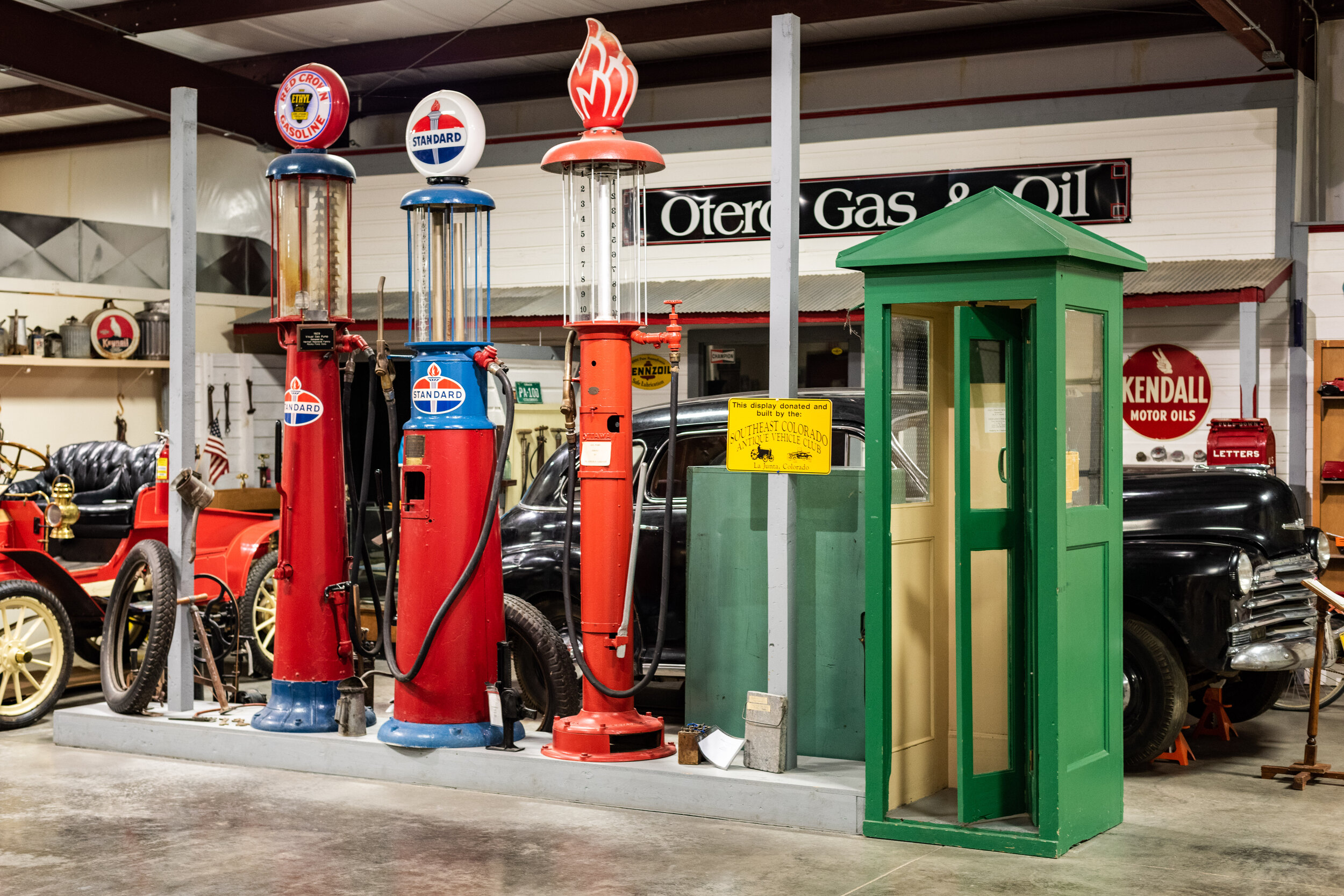
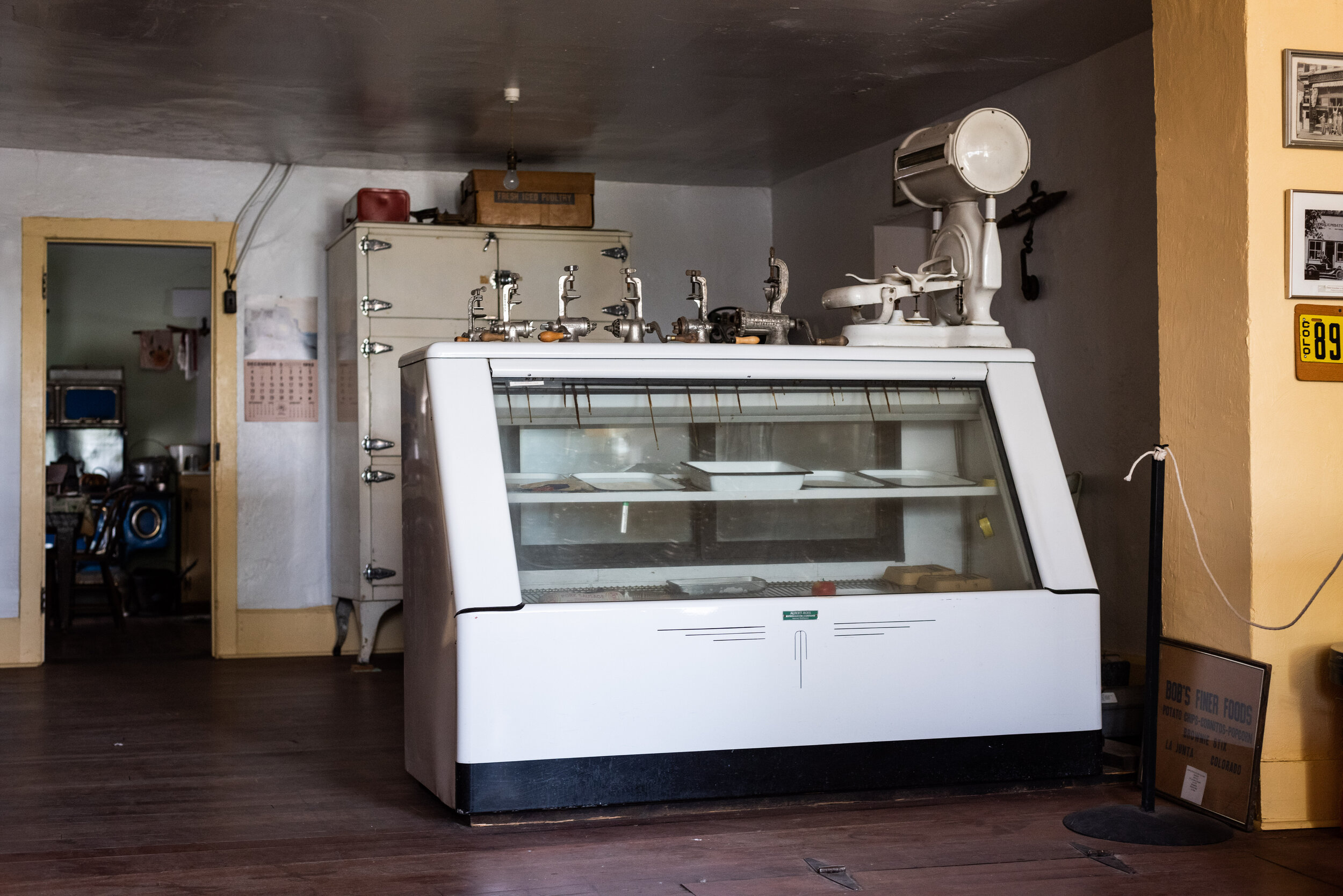
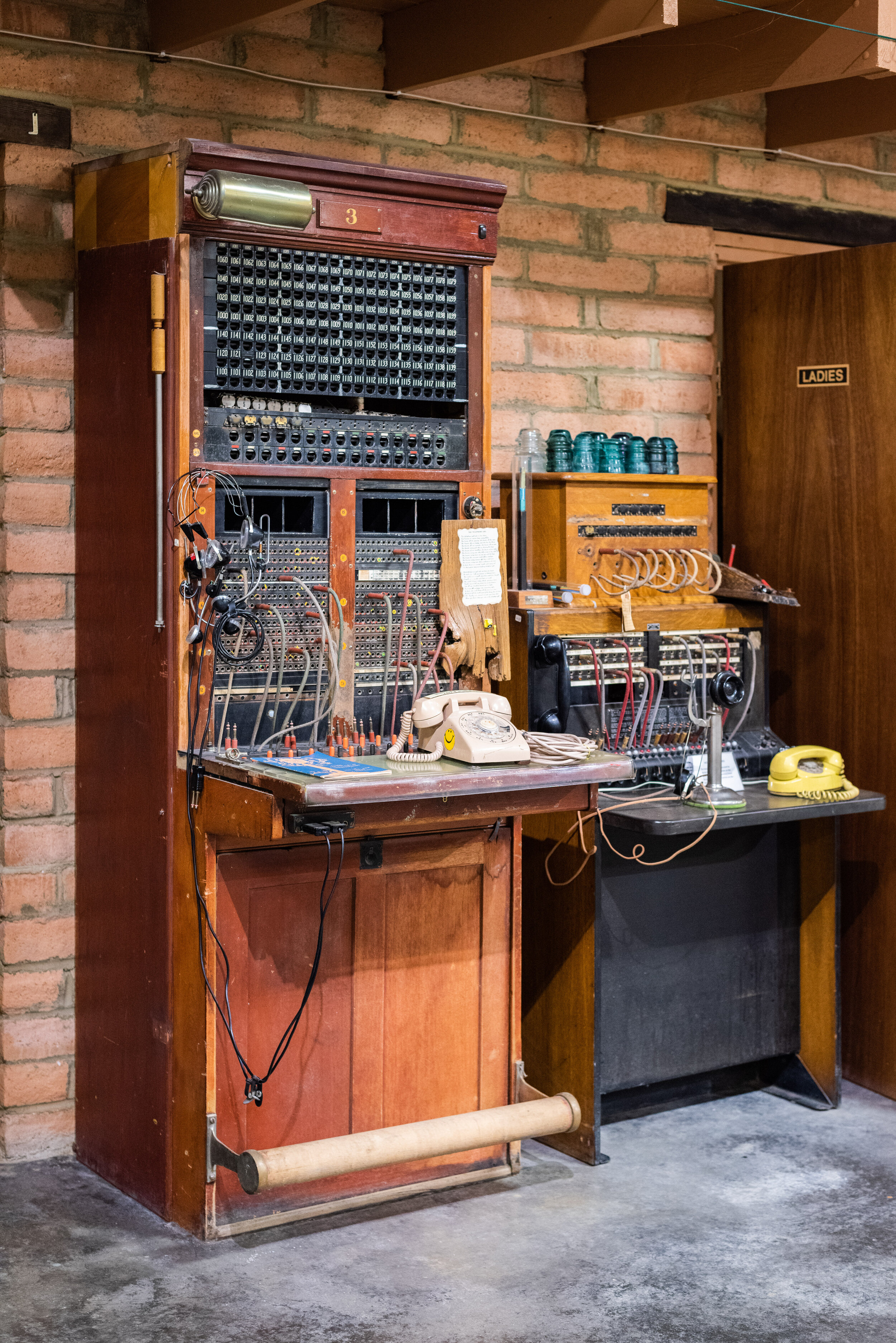
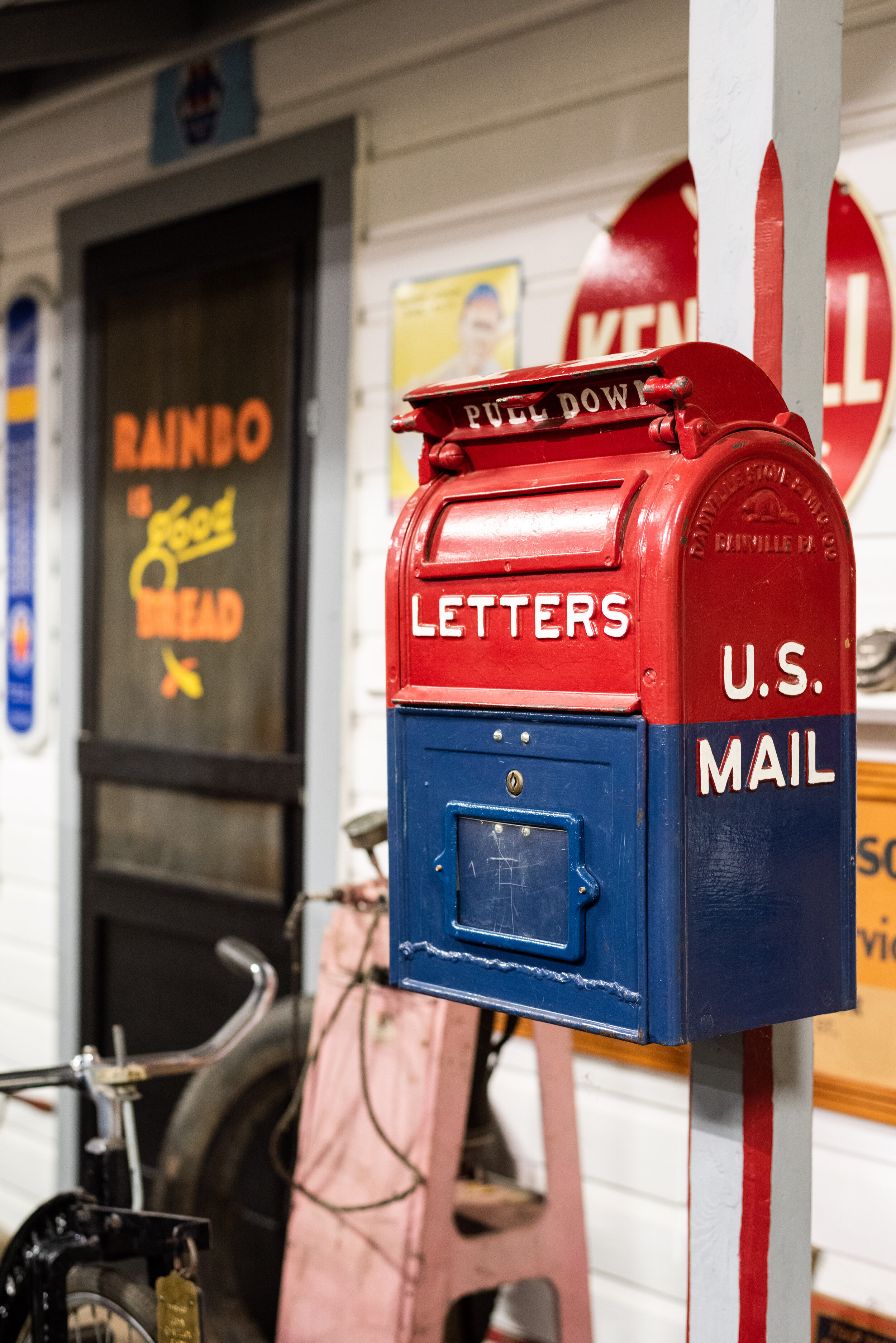
I arrived in La Junta around midday to specifically look for the Sciumbato Store, a property on the National Register of Historic Places. The building and a number of others make up the Otero Museum, which I spent most of my Thursday visiting. I wasn’t happy with the position of the sun against the building when I arrived in La Junta, so when I saw the “OPEN” sign on the museum entrance I decided to head inside. I met a pair of wonderful women who showed me around the museum, which all started with one man’s personal collection (who unfortunately passed away in 2019). While most of La Junta is focused on agriculture, it was also a Santa Fe Railroad hub. One of the women who showed me around the museum told me that her husband, who enlisted in the army during WWII, returned to La Junta after the war and was a conductor on the railroad for 45 years until his retirement. Most of the railroad jobs have since left the town, along with the Woolworths, Sears, and numerous department stores which used to fill the vacant storefronts of Colorado Ave. Amtrak’s Southwest Chief makes regularly scheduled stops in a number of places I visited like La Junta and Lamar.
A severe thunderstorm warning set off an alert on my phone as I left La Junta for Trinidad. I could see the storm rolling in as I turned onto US-350, a stretch of paved road spanning 80 miles between La Junta and Trinidad. The road cuts straight through the Comanche National Grasslands, an absolutely beautiful landscape of plains grasses and rolling hills. I could see thick black clouds set behind empty railroad cars on the horizon as I left La Junta, punctuated by bolts of lightning. Things were fine until I was about 30 miles into the drive - the sky suddenly opened up with hail and pelting rain. I could barely see 2 feet in front of my bumper as I slowed to a crawl, wipers wholly ineffective against the downpour. I was lucky enough to catch up to a truck which I followed through the storm, but that was the most terrifying drive of my life. Despite not being able to see much, I did spot a tumbleweed as it sped past my windshield!
Trinidad

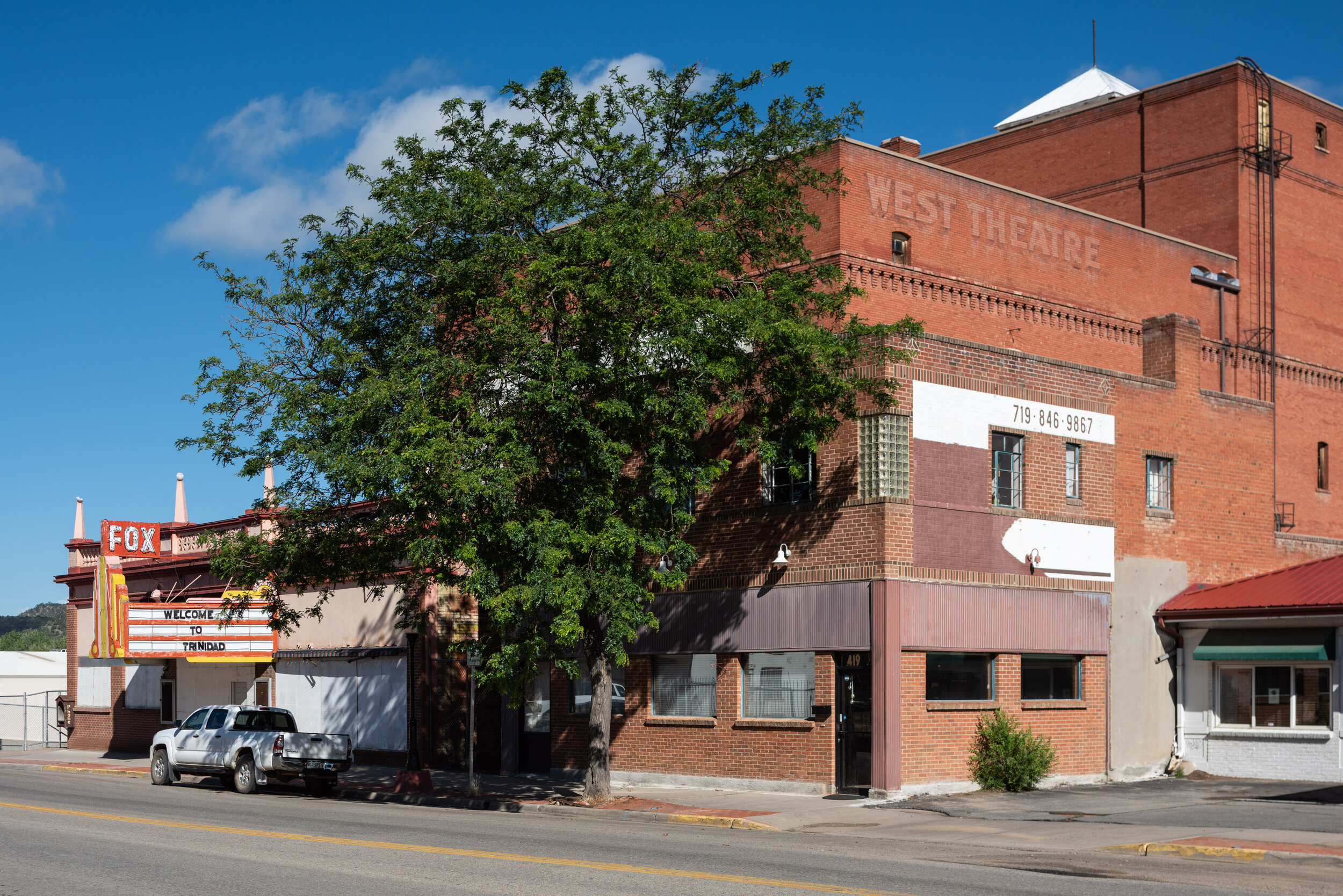
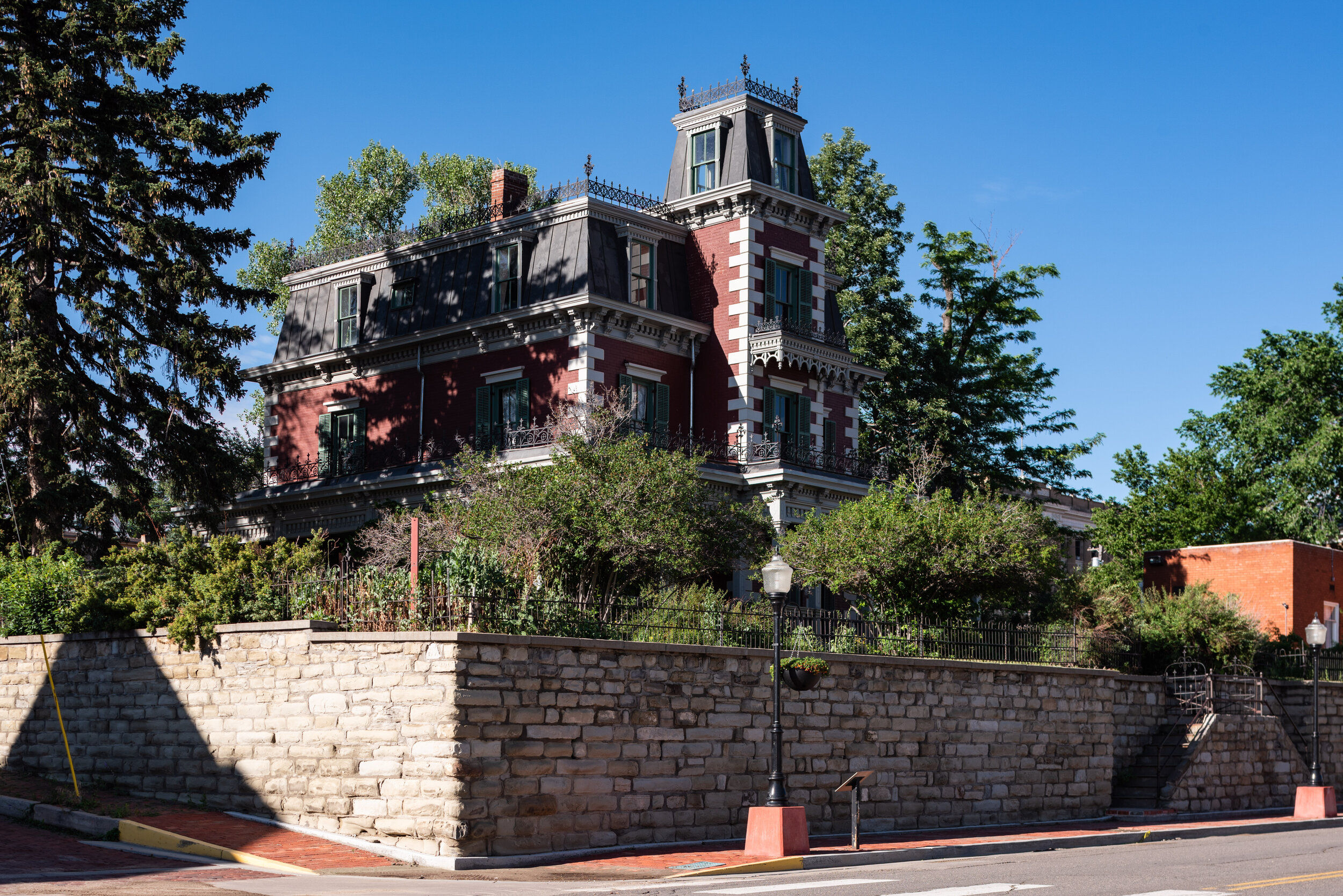
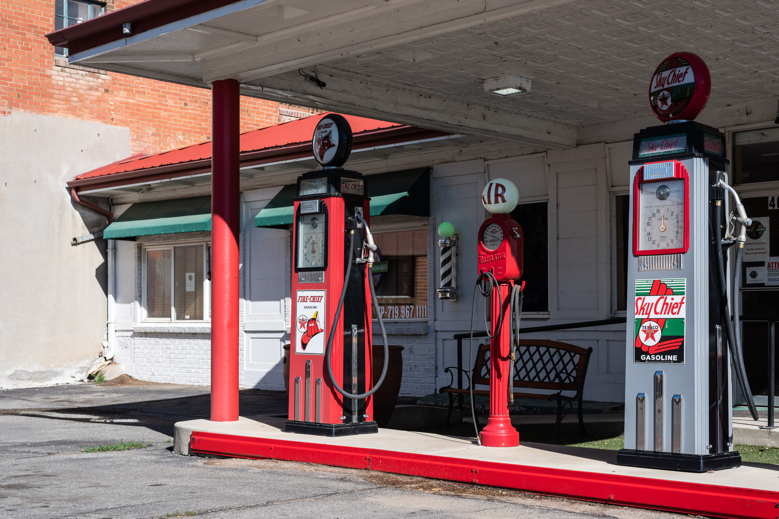
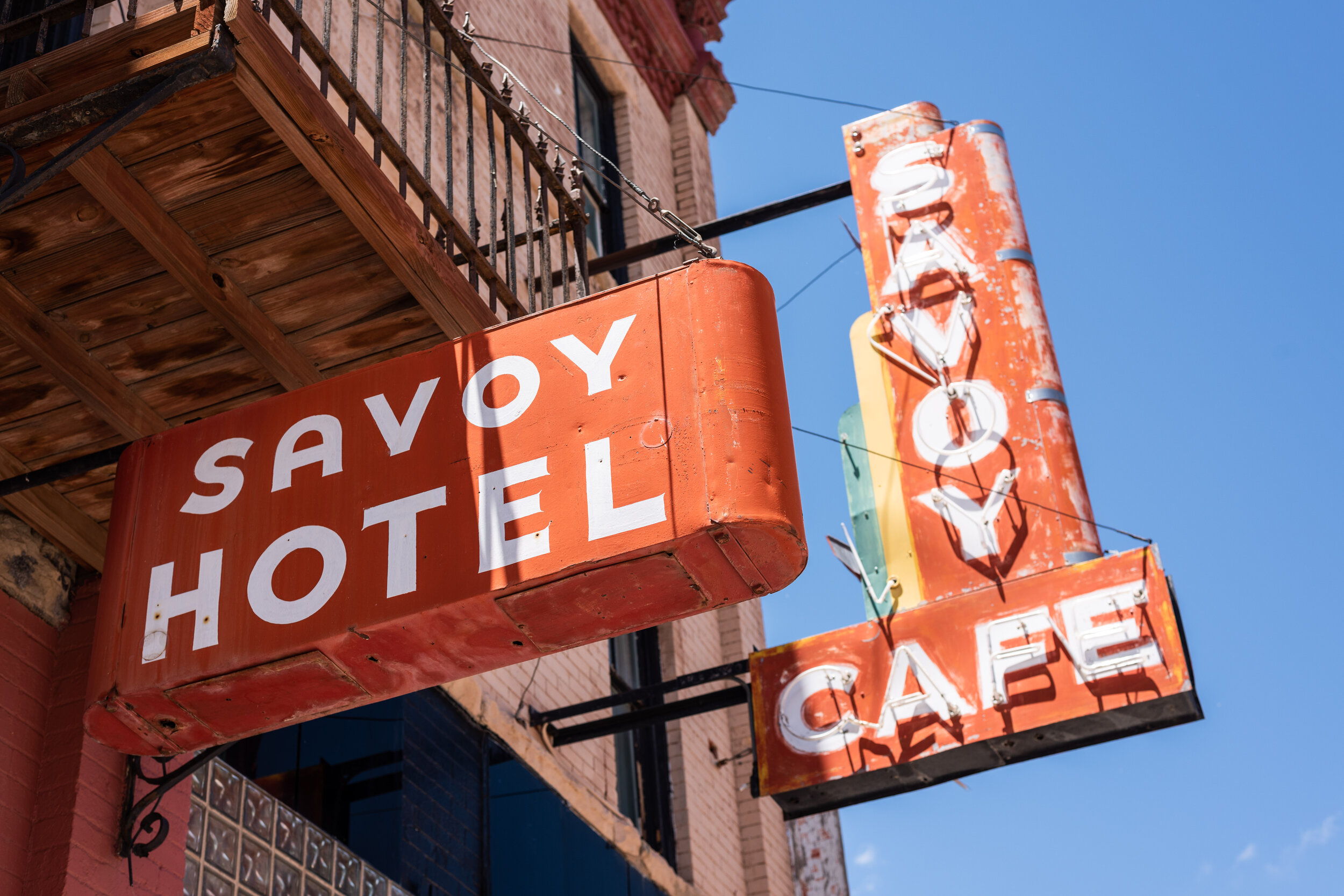
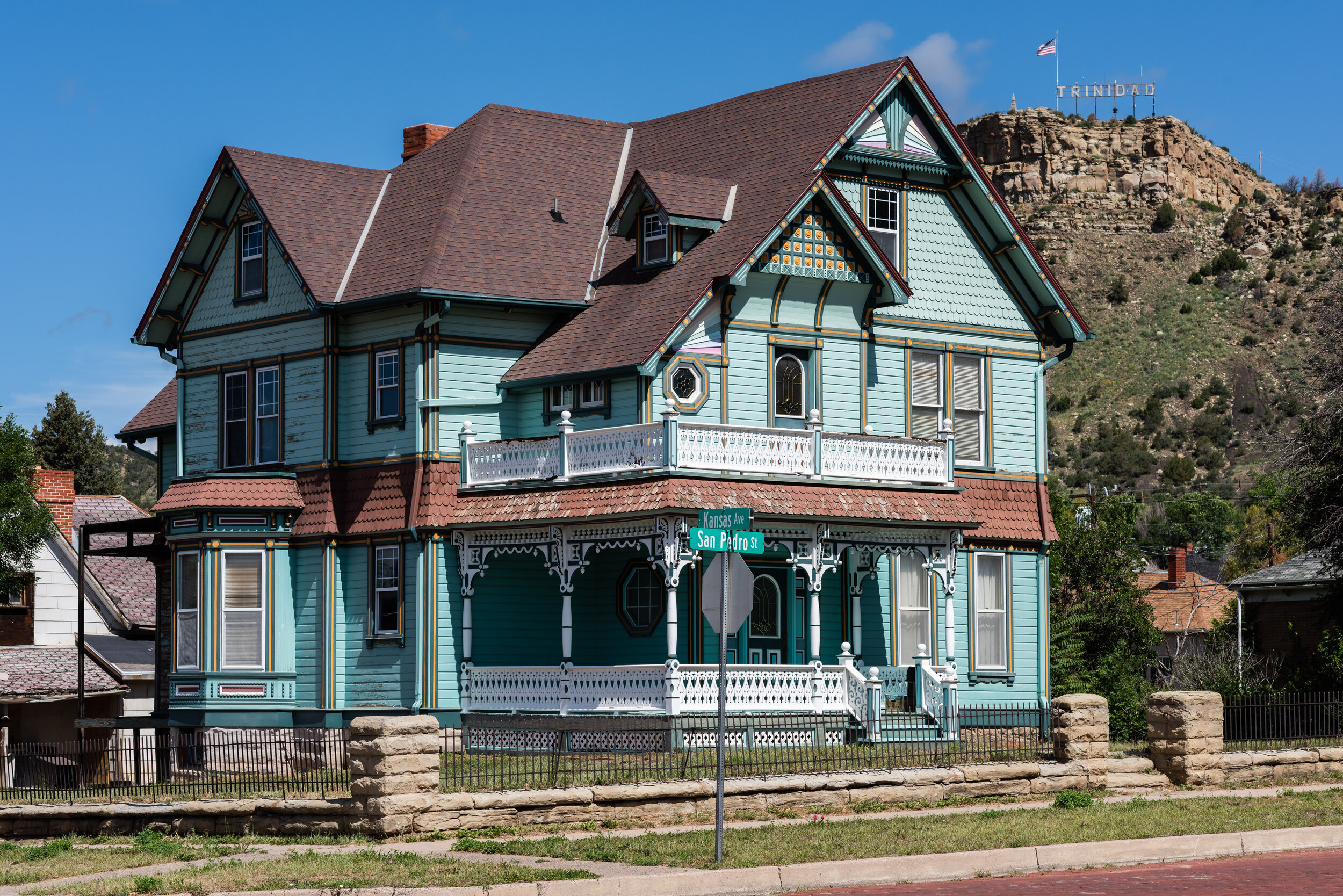
The last stop on my trip was Trinidad, though I planned to also spend time in Pueblo. I decided to spend my whole Friday in Trinidad given the proximity of Pueblo to Colorado Springs and the amount of things to see downtown. I started my day with a great breakfast of pancakes, hash brown, eggs, and coffee at Bob and Earl’s Cafe, leaving my shoes on the car’s roof to dry out from being soaked in the previous day’s storm. Trinidad was a mining town, providing raw materials for the nearby Colorado Fuel & Iron furnaces in Pueblo. I had a nice discussion with the local librarians in my effort to find the oldest graves in Trinidad, who told me a bit more about the town itself. Packed full of historic buildings with a vibrant downtown, the marijuana industry and an increase in tourist traffic has helped keep the local economy afloat. I didn’t feel that spending a single day in Trinidad was enough to experience it all, but I had a flight from Colorado Springs to catch. Between the beautiful houses of Colorado Ave, Bloom Mansion, and the local Post Office, there’s lots of unique architecture to see. If you’re in town, check out Rino’s Italian Restaurant. It’s situated inside an old Presbyterian church, and all the waiters sing! The food was great and it was quite entertaining, given I walked into the place with no knowledge of the theme.


The TRINIDAD sign which overlooks the city can be seen from just about anywhere in town. Perched high atop Simpson’s Rest, the sign is accessible via a short hike. The mountain was named for George S. Simpson, a frontiersman who’s gravesite overlooks the town below. I didn’t plan to hike up to it until I ran into a man nearby Kit Carson Park who suggested it. With my tripod and camera strapped to my back, I hiked up and spent a good hour just admiring the view and taking pictures. The panorama below is a group of 12 photos taken with my Nikon PC-E 24mm lens, stitched together to capture the TRINIDAD sign and the magnificent view in one shot. I couldn’t think of a better way to wrap up my trip, 4 days and 550 miles later.
